How To Draw The Ghana Map, Seven Fast Steps
A map is a symbolic depiction emphasizing relationships between elements of some space, such as objects, regions, or themes. Many maps are static, fixed to paper or some other durable medium, while others are dynamic or interactive. Here is how to draw the Ghana map.
How to draw the Ghana map with seven easy steps
1. Gather your supplies
Before you begin, make sure you have all of the necessary supplies. You will need a large piece of paper for the map, as well as a pencil and eraser. You may also want to use a ruler or other straight-edge.
2. Research the Geography
It is important to get a general idea of the geography of Ghana before you start drawing. Do some research online or in books to find out the location of major cities, rivers, and other geographical features.
3. Draw the outline
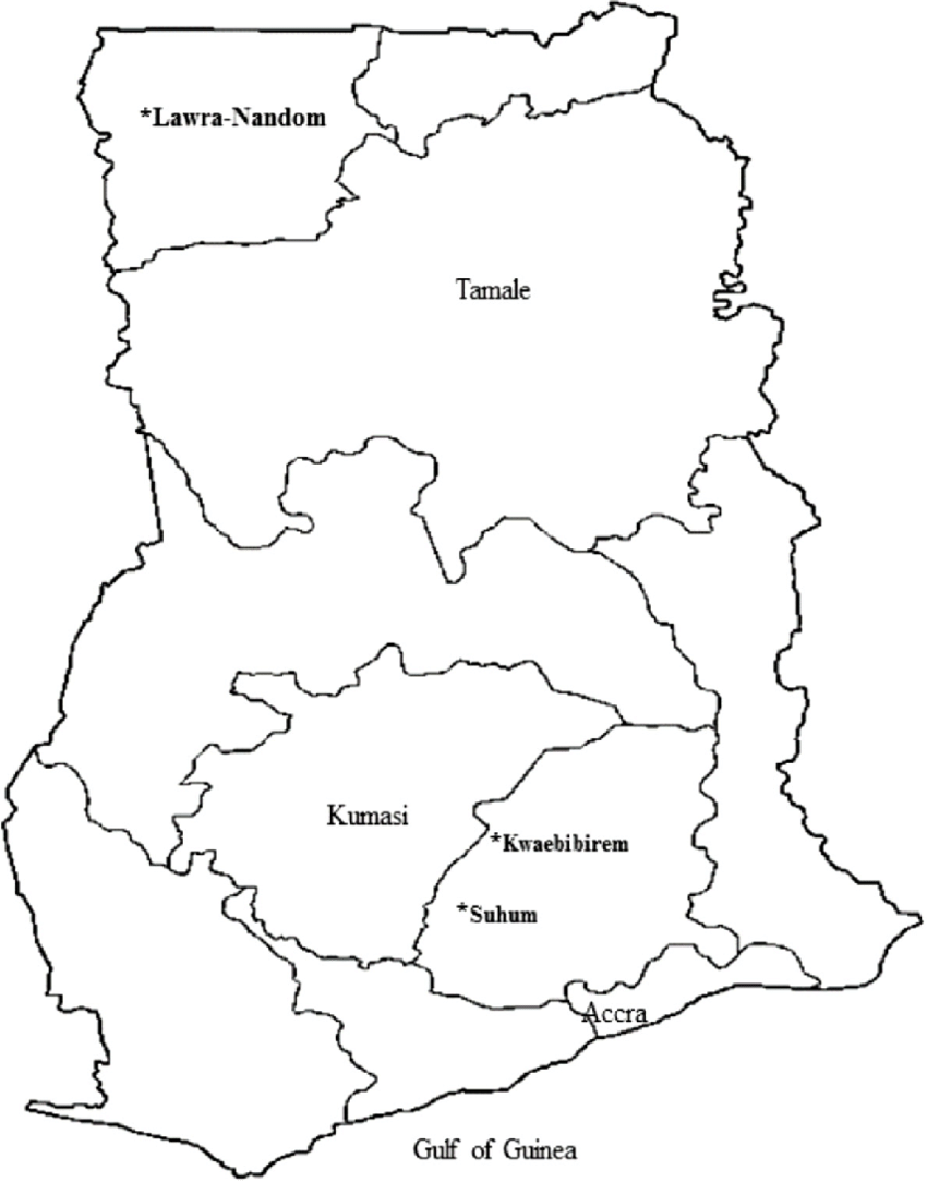
Once you have a good understanding of the geography of Ghana, you can begin to draw the outline of the country. Start by drawing the coastline of Ghana. Then, draw the borders between Ghana and its neighboring countries.
4. Draw the major cities and rivers
Now that you have the outline of the country drawn, you can begin to add the major cities and rivers. Use your research to determine the location of the major cities, such as Accra and Kumasi. You can also add the major rivers, such as the Volta and the Oti.

5. Fill in the details
Once the major features are drawn, you can start to fill in the smaller details. This includes smaller cities, mountains, and other features. Make sure to use your research to draw the features accurately.
6. Shade the Map
Once all of the details are drawn, you can begin to shade the map. This will help to give the map a more realistic look. You can use different colors to represent different geographical features, such as mountains, rivers, and lakes.
READ: How To Travel To The Maldives Without Visa, 3 Simple Steps
7. Add Labels
The last step is to add labels to the map. You can use the research you did to label the major cities and rivers. You can also add labels for smaller features, such as mountains, lakes, and national parks.

Send Stories | Social Media | Disclaimer
Send Stories and Articles for publication to [email protected]
We Are Active On Social Media
WhatsApp Channel: JOIN HERE
2024 BECE and WASSCE Channel - JOIN HERE
Facebook: JOIN HERE
Telegram: JOIN HERE
Twitter: FOLLOW US HERE
Instagram: FOLLOW US HERE
Disclaimer:
The information contained in this post on Ghana Education News is for general information purposes only. While we endeavour to keep the information up to date and correct, we make no representations or warranties of any kind, express or implied, about the completeness, accuracy, reliability, suitability or availability with respect to the website or the information, products, services, or related graphics contained on the post for any purpose.
 How to buy UG Admission Voucher with Momo/Shortcode
 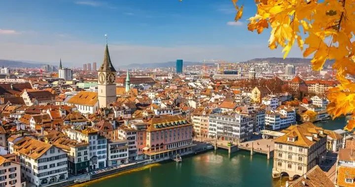 Top 5 Universities in the Netherlands for Masters Studies
  John Mahama Lists Plans for Education Sector When he is Voted for
  The Poll Tax Ordinance of 1852
  Asogli State rejects renaming Ho Technical University after Ephriam Amu