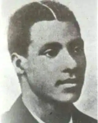
George Ekem Ferguson was a man of great abilities. Born in 1864 at Anomabo, he attended school at Cape Coast and later continued his education at Wesleyan High School in Freetown.
Upon his return, he worked briefly as a teacher before joining the civil service in 1881, where he became the clerk to the Governor. His exceptional abilities soon earned him a government scholarship to study surveying and mapmaking at the Royal School of Mines in England.
Throughout his life, Ferguson was a keen observer, and his experience in Europe likely heightened his awareness of the power the Industrial Revolution had given to Europeans.
After returning to Cape Coast, he was assigned the task of building good relations with the people of Attebubu and writing a report on them.
On August 10, 1899, the British and the French signed a peaceful treaty to demarcate the boundary between the Gold Coast and the Ivory Coast. Governor Griffith, then the Governor of the Gold Coast, chose George Ekem Ferguson, a Fante surveyor from the Gold Coast, for this important mission.
CHEAP NON-EXPIRING DATA
Buy affordable data bundles that never expire. Reliable and Instant Delivery!
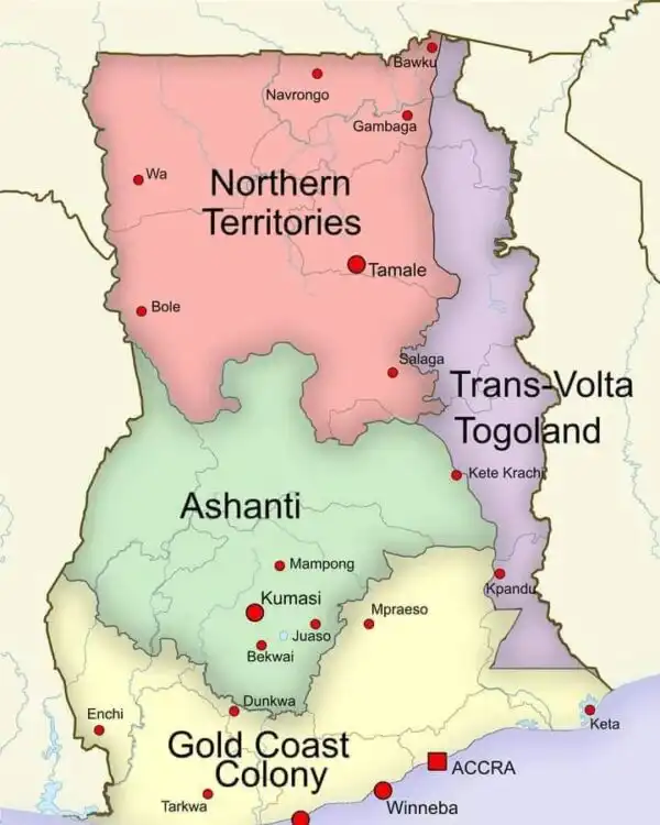
BUY CHEAP DATA NOWIt was George Ekem Ferguson who designed the map of Ghana.